General Information
Start/ End: Paro/ Paro
Duration: 15 days/ 14 nights
Tour Route: Paro – Gunitsawa – Thangthangkha- Jangothang – Lingshi – Shakshepasa – Robluthang – Limithang – Laya – Gasaa Tsachu – Punakha – Thimphu – Paro
Tour Customize: Definitely! (Tell us your specific requirements in the inquiry form)
Guide/s: Local Guide (English Speaking Guide or Other Languages depends on your Request)
Transportation: Private first-class air-conditioned vehicles
Accommodation: Listed below or equivalent. Rooms with private bath or shower, hotel taxes, porterage, tips, and service charges.
Brief Itinerary
Day 1: Paro Arrival
Day 2: Paro – Gunitsawa
Day 3: Trekking: Gunitsawa – Thangthangkha
Day 4: Trekking: Thangthangkha – Jangothang
Day 5: Halt: Jangothang
Day 6: Trekking: Jangothang – Lingshi
Day 7: Trekking: Lingshi – Shakshepasa
Day 8: Trekking: Shakshepasa – Robluthang
Day 9: Trekking: Robluthang – Limithang
Day 10: Trekking: Limithang – Laya
Day 11: Trekking: Laya – Gasa Tsachu
Day 12: Gasa Tsachu – Punakha / Wangdue
Day 13: Punakha/ Wangdue – Thimphu
Day 14: Thimphu – Paro
Day 15: Paro Departure
Full Itinerary
Day 1: Paro Arrival
Arrival by plane to Paro airport. After check-in, the rest of the day is your leisure to explore this city. Overnight in Paro
Day 2: Paro – Gunitsawa (B)
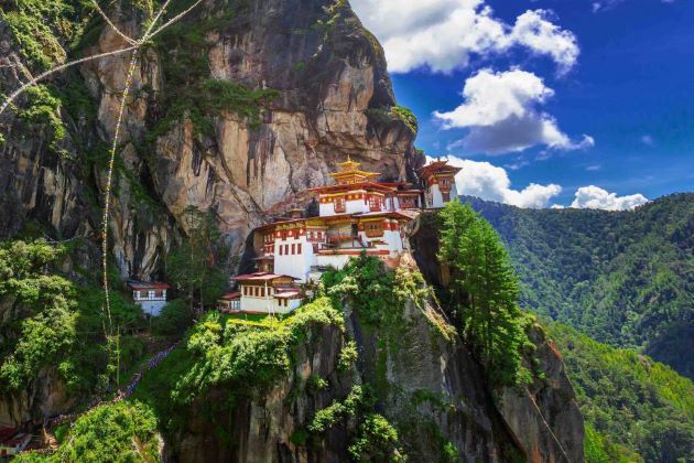
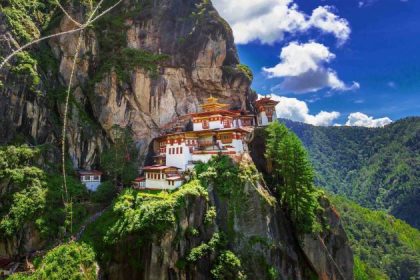
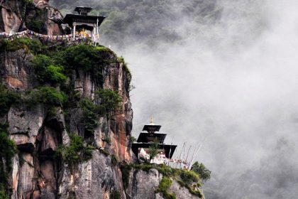
In the morning, visit Kyichu Lhakhang, the temple built in the 8th century by Tibetan king Songtsen Gampo. Then climb to Taktsang gompa (Tiger’s Nest), most venerated and holy place in Bhutan overlooking valley from the steep cliff.
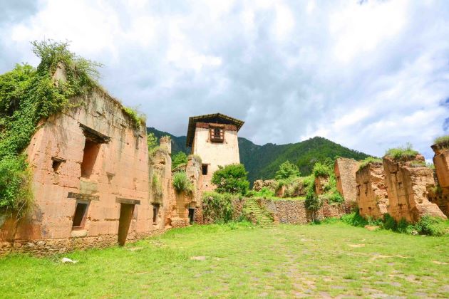
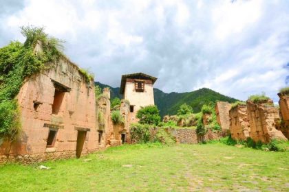
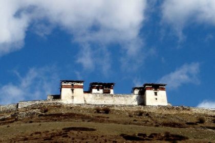
After lunch, drive to Drukyel dzong. This used to be a place where the trek started before. See ruins of the old dzong (castle) and continue further to the military camp of Gunitsawa on the newly built road. Possibility to make a detour to Lhadi Gompa just before military camp. First-night camping just above military camp at the elevation of 2,890 m.
Day 3: Trekking: Gunitsawa – Thangthangkha (B)
Distance 16 km, 7-8 hours, 770 m ascent, 10 m descent, camp altitude 3,610 m.
On this long day, there is a lot of up and downs. After going uphill around the river, the valley finally narrows to a mere path which descends to a meadow where a camp will be set up. From here, if weather permits, you will have the first great view of Jomolhari.
Day 4: Trekking: Thangthangkha – Jangothang (B)
Distance 10 km, 5-6 hours, 480 m ascent, camp altitude 4,080 m.
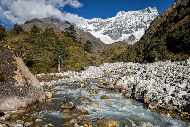
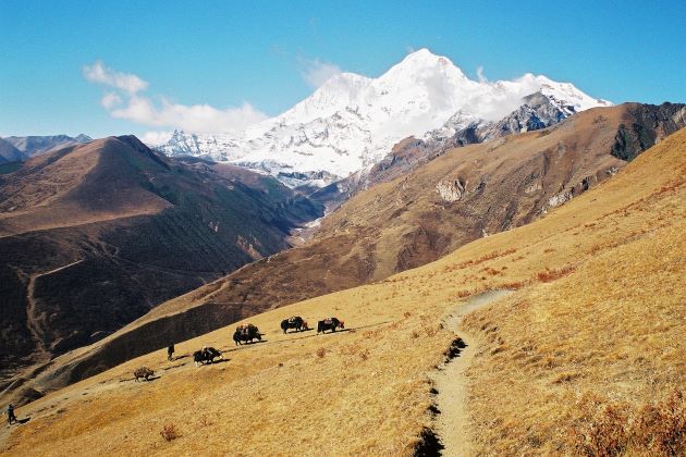
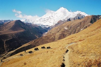
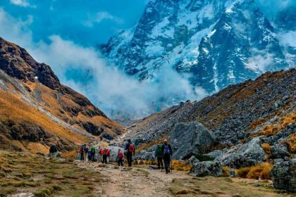
If you did not see Mt. Jomolhari the previous evening, you will still have a chance to get a great view early this morning. The trek continues up the Paro Chhu valley which widens into patches of alpine meadow and scanty growths of forest. You will cross an army checkpoint along the way and enjoy a spectacular view of high mountain ridges and snow-capped peaks.
In this area yaks and their herder’s homes become a regular feature of the landscape. Passing the villages Soe, Takethang, and Dangochang is another asset on this day. After reaching Jangothang, one of the most beautiful campsites of the Himalayas, you will again have a spectacular view of Jomolhari.
Day 5: Halt in Jangothang (B)
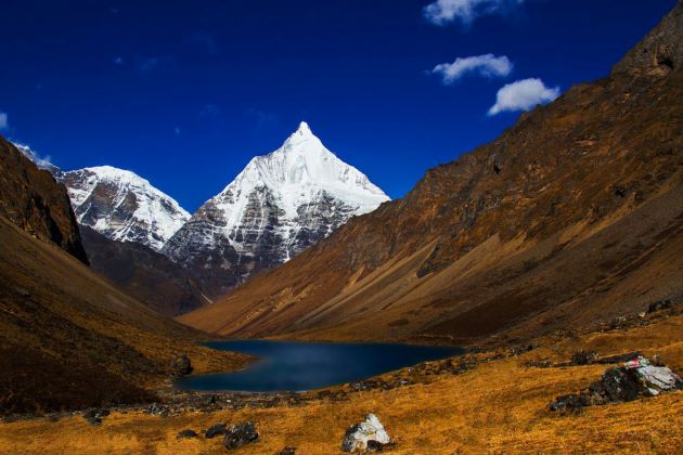
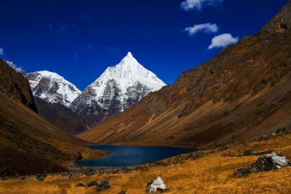
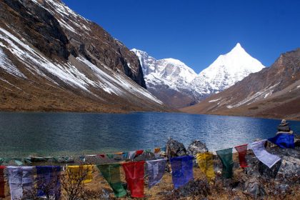
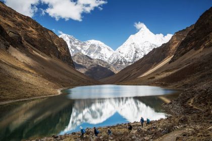
Today, you will make a beautiful acclimatization hike to Tshophu lakes at 4450m altitude. From above the lakes, you can see the aerial view of Jomolhari I, Jomolhari II, and Jichu Drake summits. Herds of blue sheep are also a common sight. If you are strong, you can even continue to Bonte-la pass (4850m). After enjoying by the lakes, descend back to Jangothang and have a good rest.
Day 6: Trekking: Jangothang – Lingshi (B)
Distance 13 km, 6-7 hours, 840 m ascent, 870 m descent, camp altitude 4,010 m.
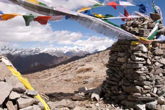
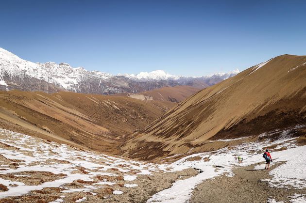
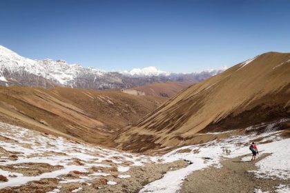
This is one of the longest days of the trek. A short distance from the camp the trail begins climbing rapidly for about half an hour and then becomes a gradual ascent to the Nyilila pass at 4,870m. While on the climb enjoy the surroundings. You might see herds of blue sheep grazing on the slopes of the mountains. From the pass you will have spectacular views of Mt. Jomolhari, Jichu Drake and Tsherimgang, all of them rising above 7,000m.
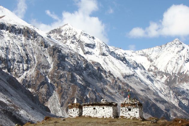
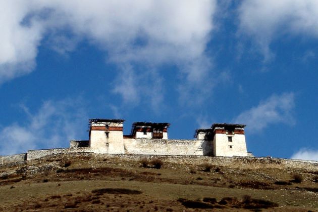
It’s a gradual descent to the camp where you will pass by some of the yak herder’s tents, made from yak wool. The herders use these tents while traveling to various pastures for their yaks. As you come down into the Lingshi basin, a beautiful U-shaped valley, you get a wonderful view of Lingshi Dzong on clear days. Tserimgang and its glaciers rise up at the north end of the valley. The campsite is next to a stone hut you reach just before Lingshi Dzong.
Day 7: Trekking: Lingshi – Shakshepasa (B)
Distance 20 km, 8-9 hours, 950 m ascent, 1100 m descent, camp altitude 3,980 m.
Today is quite a hard walking day and you should start early. Shortly after starting you will reach a chorten below Lingshi Dzong. The small village inhabited by zah herders is here. After Lingshi Dzong you will be passing the villages of Lingshi and Goyul.
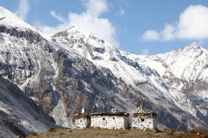
In Goyul, the stone houses are clustered together to form a small compact village that is unusual in Bhutan where settlements are usually scattered. After reaching the campsite at Chebisa you start with a long ascent through a wide pastureland towards Gobu La (pass). On the way, you will see a few people herding yaks. There is also a great chance to spot large herds of blue sheep above the trail. After crossing Gobu La (4,410m), you descend into the valley, then climb again a little bit, before descending again to Shakshepasa (3,980m), a large flat valley, where you will be camping. Sunrises soon so expect cold in the nigh.
Day 8: Trekking: Shakshepasa – Robluthang (B)
Distance 14 km, 5-6 hours, 800 m ascent, 760 m descent, camp altitude 4,160 m.
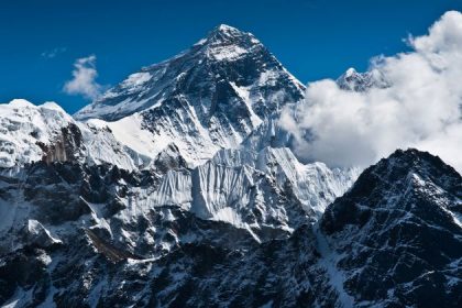
You begin by climbing up the valley to view Kang Bum (6,526 m) and some edelweiss. After three hours of climbing you will reach Jhari La (4,750m), from where you catch the first glimpse of Sinche La, the pass you will have to cross the day after. The big snow peak in the north is Gangchhenta 6,840 m, better known as the Great Tiger Mountain. If the weather is clear, Tserim Kang and the top of Jomolhari will be visible.
As the day trek is short, you might like to make the climb to Jhari Peak adjacent to the pass in elevation of 4935m for better views. Round trip will take you a little bit over one hour extra. Descend to the camp by the river which is called Tsheri Jathang, located in a beautiful wide valley. Herds of takin, the Bhutanese National Animal, migrate to this valley in summer and remain for about four months. The valley has been declared a takin sanctuary. Climb up a little bit and you will finally reach the campsite at Robluthang on a rocky meadow.
Day 9: Trekking: Robluthang – Limithang (B)
Distance 13 km, 6-7 hours, 850 m ascent, 870 m descent, camp altitude 4,140 m.
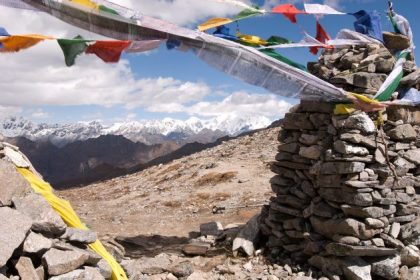
The trek starts out with an initial 40-60mins ascent before gradually raising for another 1½ hours through a boulder field. It is then a 1-hour steep ascent before reaching Sinche La (5,005m) – the final and highest pass on the trek if you don’t intend to continue the Snowman trek from Laya onwards.
As you descend the far side of the pass, you will see an impressive terminal moraine and a glacial lake at the foot of the valley. You can see classic examples of lateral moraines where the glacier has pushed rocks up both sides of the valley. Below the moraine, you cross the Kango Chhu and soon reach the Limithang campsite. The peak of Gangchhenta towers over the campsite even though it’s quite a distance away.
Day 10: Trekking: Limithang – Laya (B)
Distance 10 km, 4-5 hours, 60 m ascent, 350 m descent, camp altitude 3,840 m.
Today, you walk downhill all the way along a narrow, winding river valley. After a quote a few days, the trail takes you through a densely forested region finally reaching the west side of Laya village from where you will have spectacular views of Mt. Gangchhenta and Mt. Masagang.
In the village center is a community school and basic health. The campsite is located below the school. Explore around village and visit of the traditional local farmhouse. Laya women wear original conical bamboo hats decorated with turquoise and silver ornaments. In the evening you can also taste the local spirit called “ara”.
Day 11: Trekking: Laya – Gasa Tsachu (B)
Distance 24 km, 8-9 hours, 980 m ascent, 1,070 m descent.
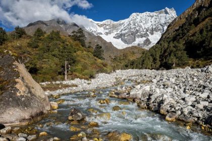
This will be quite a difficult day. The trail winds up and down along the river valley of Mo Chhu avoiding natural obstacles and affording breath-taking views of the raging river, feeder streams, and waterfalls. Lots of ups and downs will lead you to Kohi Lapcha at 3.300 m. The trek then drops down to the large stream of Koina Chhu, where you will find the campsite of Koina. Here the last tiring ascent to reach the road starts. The trail goes through an ancient forest where the road is now being built. Finally, you will reach the end of the motorable road where the jeeps will be waiting. These will take you down to Gasa Tshachu, the famous hotsprings. Enjoy the hot water, after a tiring trek!
Day 12: Gasa Tsachu – Punakha / Wangdue (B)
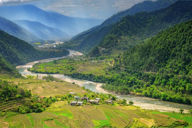
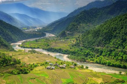
This the end of the trek. Pack your things and start a drive from Gasa to Wangdue. Accommodation in the hotel and spend time in leisure. Visit the town and celebrate the trek successful conclusion!
Day 13: Punakha/ Wangdue – Thimphu (B)
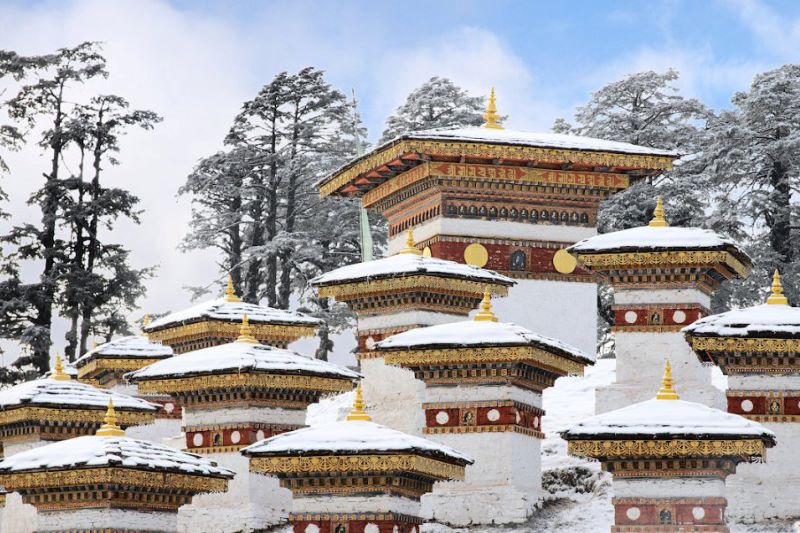
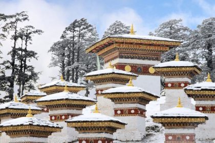
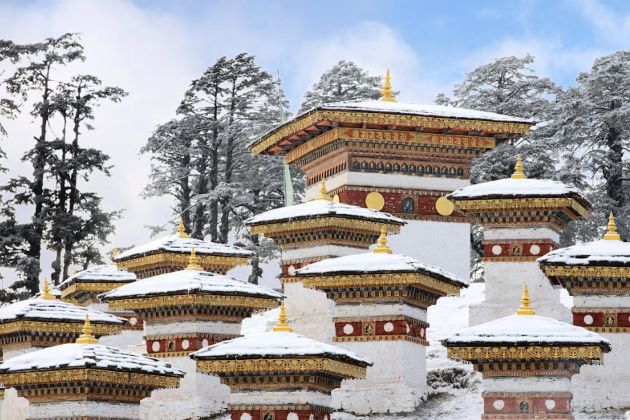
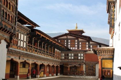
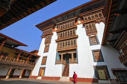
Today, climb to Khamsum Lahkahang with great views. Then visit Punakha Dzong, one of the most beautiful castles in Bhutan. Chimmy Lhakhang temple dedicated to a famous divine madman who was spreading Buddhism by rampant sexual behavior. Transfer to Thimphu over Dochu-la pass (3.015 m). In good weather we can have nice views here. Druk Wangyel Lhakhang dedicated to the 4th king of Bhutan also makes nice sight.
Day 14: Thimphu – Paro (B)
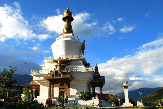
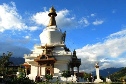
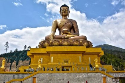
Early morning drive to Buddha Dordenma, the gigantic statue of Buddha overlooking the valley and walk to striking city viewpoint. See Memorial Chorten, always busy with devotees. Walk-in Norzin Lam Street and see the traffic police signaling injunctions. Thimphu is only capital in the world without traffic lights. Finish your walking at the handicraft market where many interesting Bhutanese souvenirs can be seen and bought for a reasonable price.
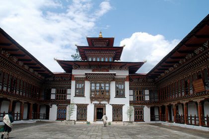
Later visit hand paper factory a Thangkha painting center, where young artists learn the skills of their forefathers. After that drive to Changankha Lhakhang, the oldest place of worship in the valley. Afterward, visit Tashicho Dzong, the castle, which serves as the seat of the king and government. Evening drive to Paro.
Day 15: Paro Departure (B)
After breakfast, your guide and driver will transfer you to the airport in time for your flight to the next destinations. Trip ends.


Reviews
There are no reviews yet.